ESA’s Technology Services focus on leveraging the power of your data so you can make informed decisions for your organization, your stakeholders, and the environment.
Technology is rapidly changing the way we do business. ESA is at the forefront of this evolutionary shift, helping our clients understand their projects from all-new perspectives. With deep experience in technology consultation, data collection, geospatial analysis, software development, and dashboard visualizations, we provide a full range of data management services and platforms.
Bolstered by our merger with Sitka Technology Group in 2021, our Technology Services practice is long-rooted in leveraging science and technology to conserve and enhance our natural resources and the health of our communities. We pair skilled programmers, systems designers, data analysts, and GIS specialists with scientists, planners, archaeologists, and engineers. As a result, our technology solutions are:
Human-Centered. Our consultants conduct insightful needs assessments and workflow analysis that define a clear path forward to address complex challenges and environments.
Open. Our systematic development approach promotes collaboration and open communication, producing innovative solutions that directly support your objectives and improve upon your existing data management systems.
Scalable. As your data sources evolve and your needs change, ESA’s technology solutions are designed to grow, meeting the needs of today and ready for what may come tomorrow.
Let us help you improve operational efficiencies and expand data management capabilities to chart a more sustainable path for improving our ecologies, economies, and communities.
Learn More About
Custom Application Development
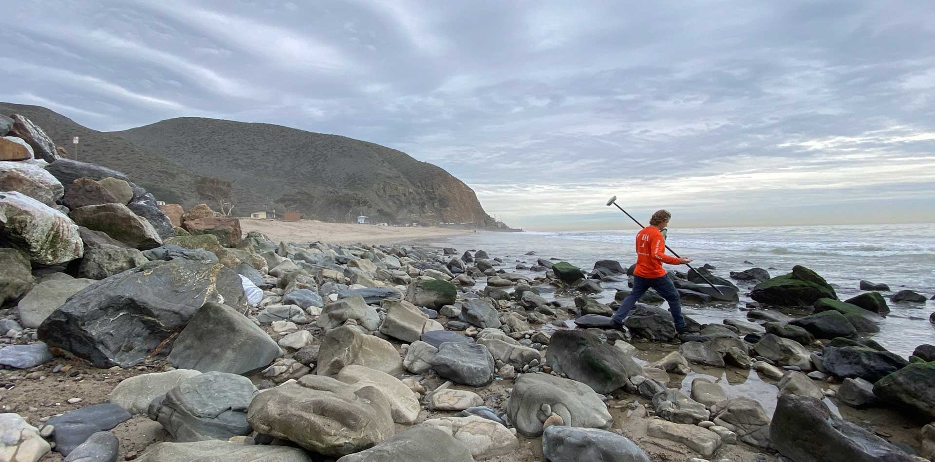
Data Collection and Analysis
Data Compliance and Mitigation Tracking
Data Management Strategy
Geospatial
Land and Species Conservation Systems
Program Performance and Portfolio Management
Project Tracking
Software Platforms
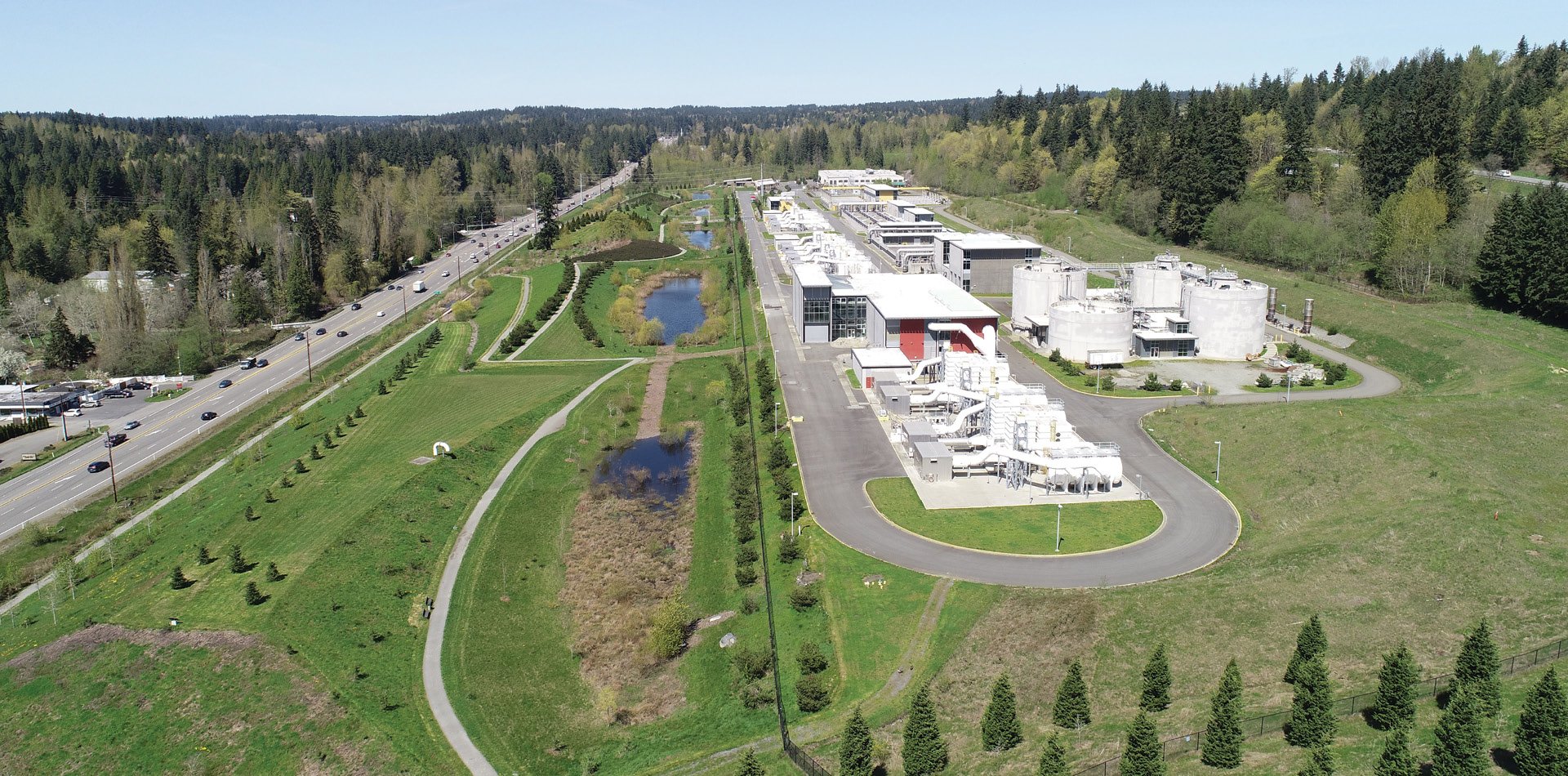
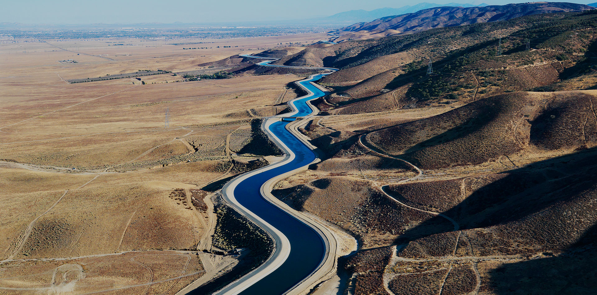
Water Management
Representative Clients